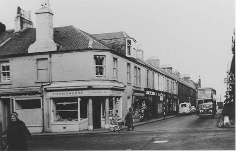
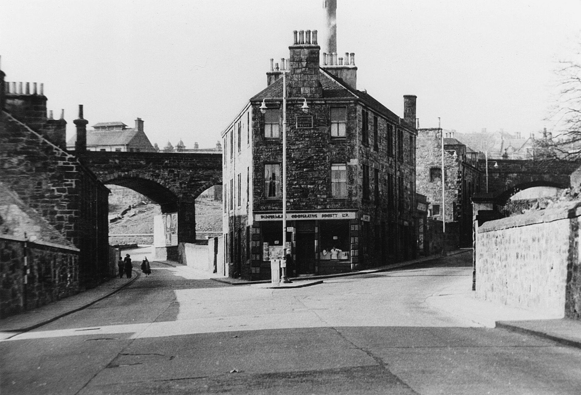
Photograph of Reform Street at its junction with Pilmuir Street from the early 1960’s. All that remains of this street is the pub on the extreme right which was the ‘Bath Tavern’ and is now ‘Coady’s’, and the building that…
A look back in time!
Photograph of Reform Street at its junction with Pilmuir Street from the early 1960’s. All that remains of this street is the pub on the extreme right which was the ‘Bath Tavern’ and is now ‘Coady’s’, and the building that…
Photograph of the gardens and teak and glass greenhouses built in 1911 in the Glen and replaced by modern aluminium and glass building in 1973. Second photograph is of the Model Traffic Area that was created in 1950 where children…
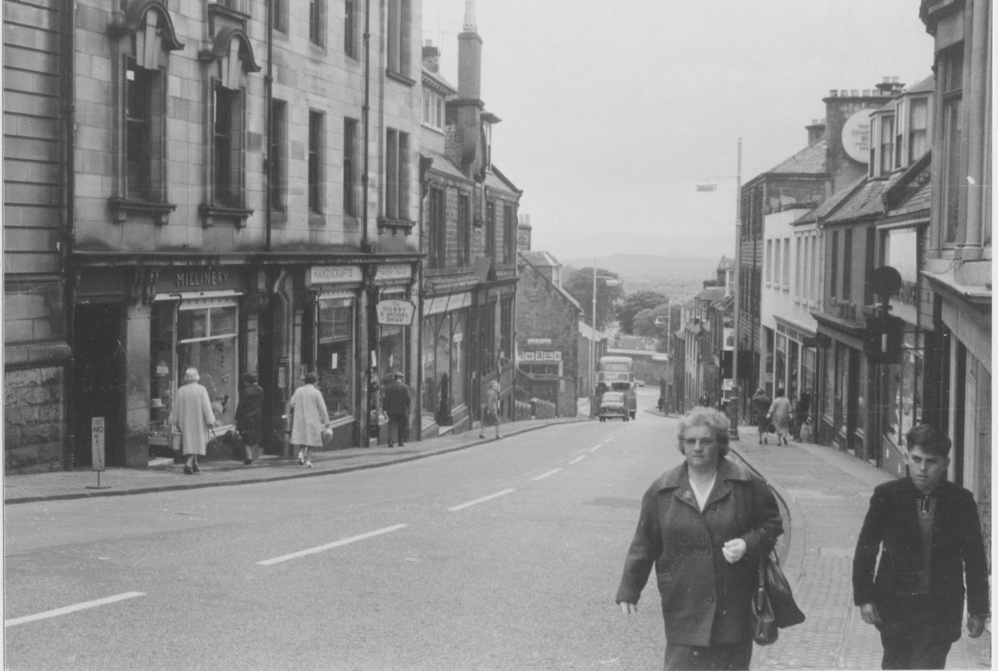
The photograph shows the New Row just down from its junction with the High Street where Reubens Cafe now is on the left, and where one of Dunfermline’s best known shops, the Hobby Model Shop, used to be situated.
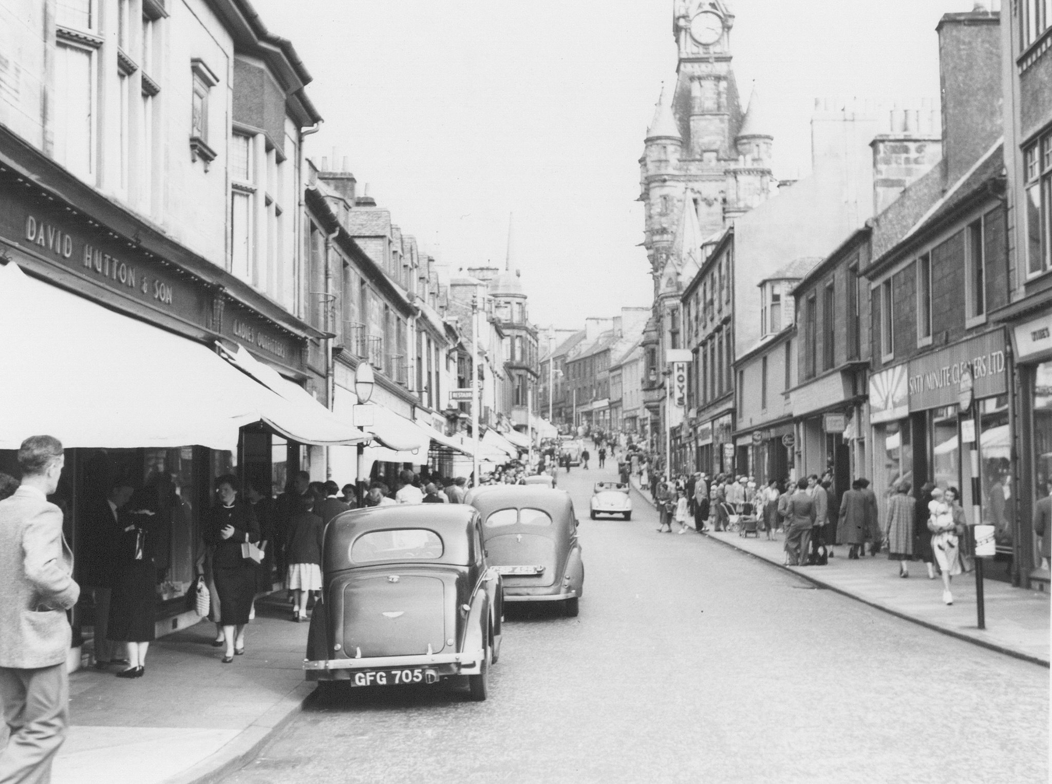
A view from the Glen Gates up Bridge Street towards the High Street busy with shoppers in the 1950’s. Hutton’s on the left hand side of the photograph is where ‘The Seven Kings’ pub is now situated.
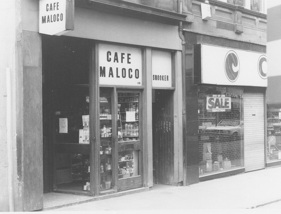
Photograph of one of Dunfermline’s most famous venues, Maloco’s cafe, in the High Street taken around 1970. Just beside it is the lane leading down to the Snooker Hall, affectionately known as “Joe’s” after the owner Joe Maloco. It was…
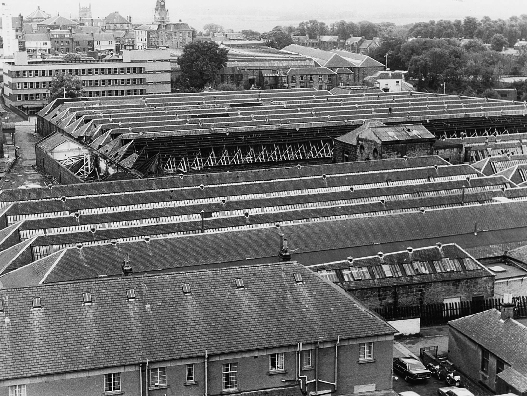
Photograph looking south over the Castleblair Silk Mills towards where Tesco now is, with the Town Clock and Abbey in the background.
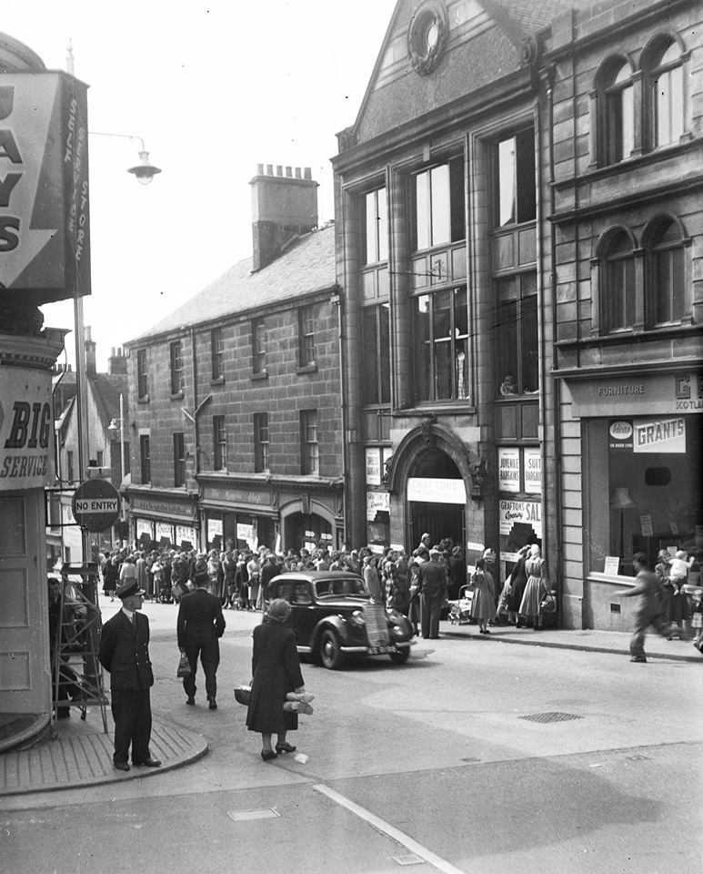
This photograph is of people queuing for a sale at Graftons in Bonnar Street which is where Marks and Spencer is now. At the bottom corner on the right is the junction of the High Street and New Row.
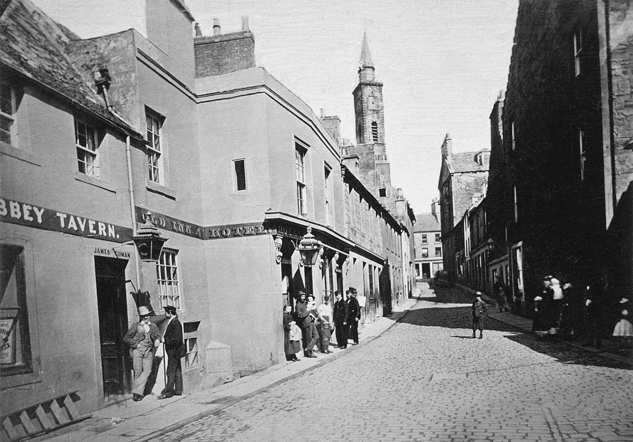
The ‘Old Dunfermline’ DVD featuring old black and white images of Dunfermline over the past 100 years, including a colour film shot in 1974 showing Dunfermline Abbey, the Glen, Carnegie Birthplace and many other aspects of life in Dunfermline is…
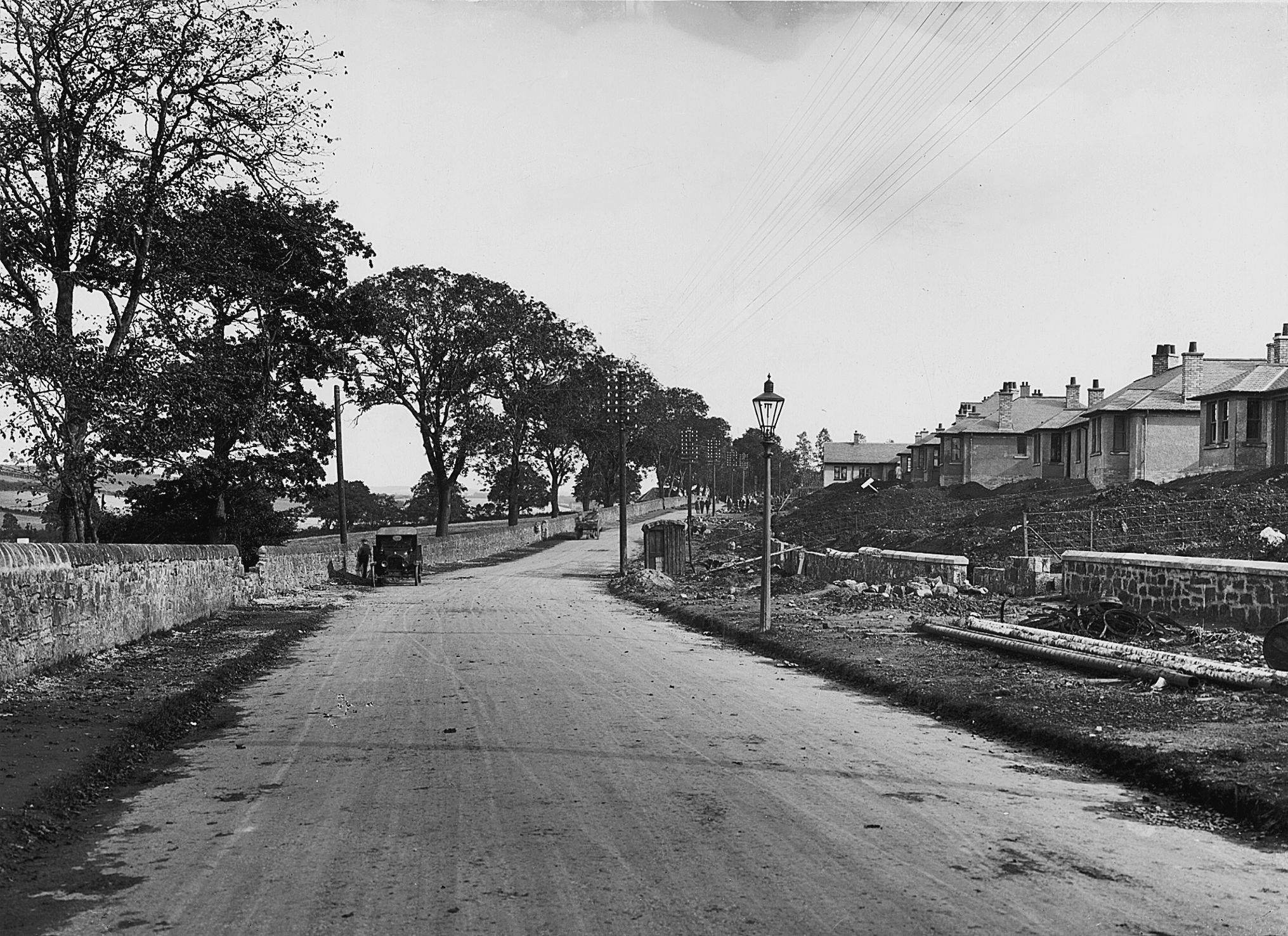
Photograph of Aberdour Road in Dunfermline before the construction of houses on the left of the picture such as Blake Street and Halkett Crescent etc.
Photograph showing the approach to the junction leading to Nethertown Broad Street on the left or up what was then called the New Row,and is now the road through the Public Park